Long Crossing of the Lofoten Islands
Two weeks of camping and hiking above the Arctic Circle
In August a friend and I travelled to the Lofoten Islands, in northern Norway. Starting on the southernmost island, Moskenesøya, we hiked roughly 200km north to Matmora on Austvågøy, the northernmost island of the archipelago. Along the way we stayed in hostels in Reine and Leknes, two small towns, but otherwise camped in the wilderness.
The journey was incredibly wild, offering stunning views of sharp, steep mountains and the ocean.
The Vikings are said to have viewed Lofoten as a fortress of jagged teeth, gradually emerging from the sea as they approached from the mainland. This description seemed very accurate on the moody, windy day on which we arrived.
The outpost of Å in Lofoten, where the ferry arrives, and from where we would walk to our first camp spot, Lake Agvatnet - which is just around the corner of the town in the picture.
First campsite of the trip - on the shores of Lake Agvatnet.
The first day entailed a day’s hiking there-and-back to a remote bay, over some mountains. The going was treacherously slippery at times, but we were rewarded with drier weather in the afternoon.
An incredibly clear sunset over the mountains from whence we came, at Lake Agvatnet, at the end of the first day.
Start of the second day, which would take us deeper into the mountains of the Lofotodden National Park, even crossing over the summit of Munken, a significant peak.
The view north from the summit of Munken.
The mainland far away on the other side of the 80 km wide Vestfjord.
Looking north from near the Munkebu hut. We would camp on the slope next to the higher lake.
Camping at the end of the second day, high above the Reinefjord.
The third day consisted of primarily vegetated boulderfields right next to the fjord. This made for the slowest 8km the both of us had ever walked.
We ended up on another beautiful campspot though, right under the famous 600m vertical cliff of Helvetestinden (Hell’s peak), at Bunes Beach, where we experienced an incredible sunset.
The next morning was sunny, and we decided to tackle Helvetestinden, the peak behind the tent, which provided some stunning, exposed grade 2/3 scrambling high above the sea.
After Helvetestinden, we had a night respite from the tent as we stayed in a hostel in Reine. The next day, it was back to cloudy conditions again, as we set off on a long 25km day from Kjerkefjorden to Ramberg.
This day had some fairly hard terrain at first, but that eased off once we were on the road for the last 10km.
Sea eagles are everywhere in Lofoten - we saw this one close to Ramberg.
Beyond Ramberg (where we camped) the trail changes, and becomes more of a (rough) coastal walk, on the island of Flakstadøya.
The coastal walk is quite rough in places - there are chains for the more exposed sections.
The village of Selfjord, in a hidden bay on Flakstadøya.
Looking to the next island, Vestvågøya, from near the village of Napp.
Vestvågøya felt very Scottish, the mountains consisiting of predominantly metamorphic rock (gneiss), with occasional igneous intrusions.
On the 9th night we stayed in this open bothy, which was surprisingly warm.
The final island, Austvågøya, felt more like the first island - Moskenesøya - again, with predominantly igneous rock and characteristically ‘‘pointy’’ mountains. This is the only photo I’ve taken on the first day on that island though - as we ended up walking in persisent downpour after this.
Views from the approach to the Matmora Ridge - the grand finale of the Long Crossing.
Looking back down the Matmora Ridge.
The exposed summit of Matmora - a rewarding ending to the hike, with views over the wide expanse of the Norwegian Sea in the background. We arrived in Svolvaer a day ahead of schedule, so we went up Fløya, via the famous Devil’s staircase and a very exposed grade 3 scramble to the top. Very much worth the effort and a great finish to our fortnight of hiking in this great part of the world, pictures below:
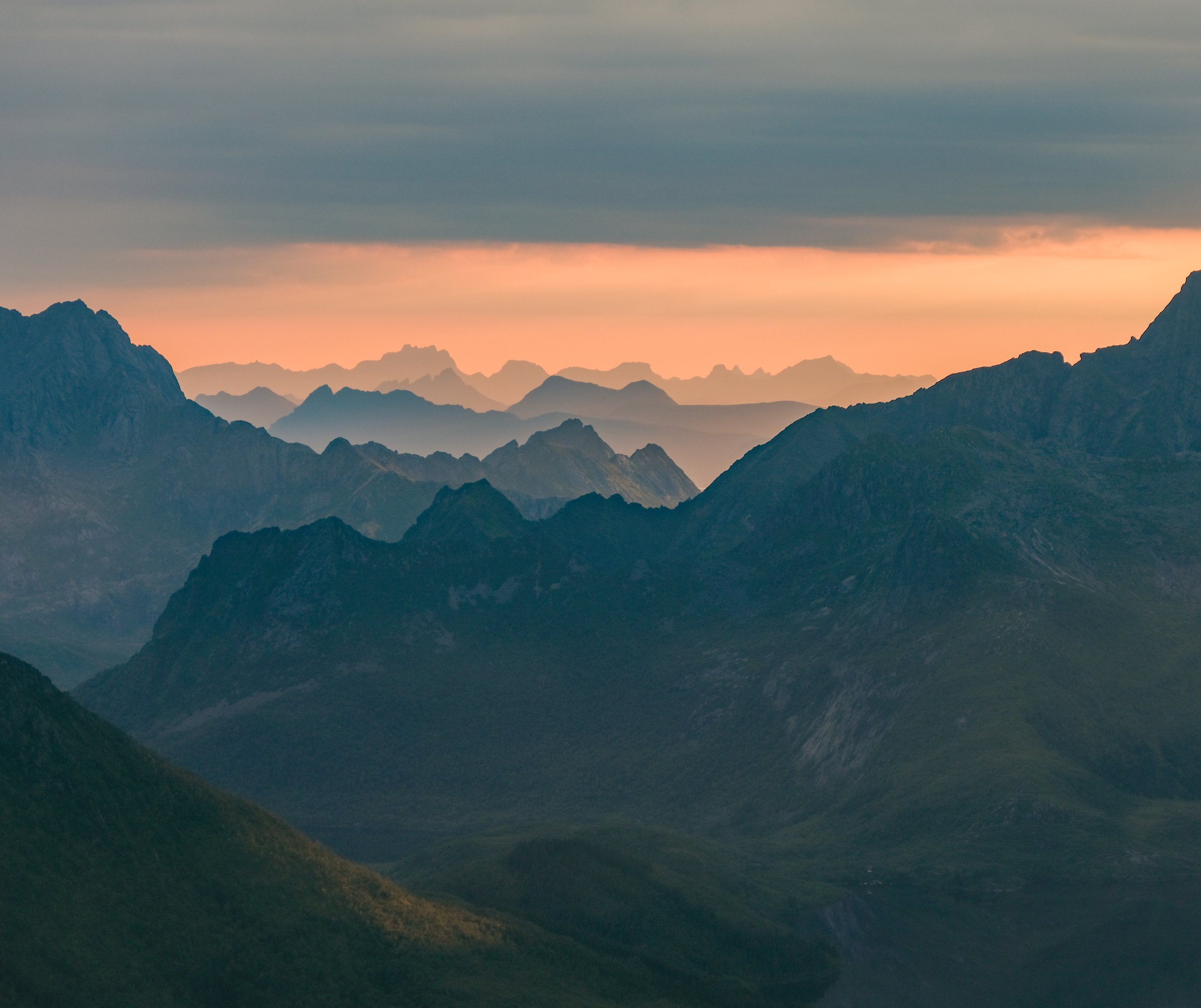
Layers of mountains, from close to the summit of Fløya.
Exposed scramble to the top.
It was well worth it carrying beer up here.
Sun setting over Svolvaer.


